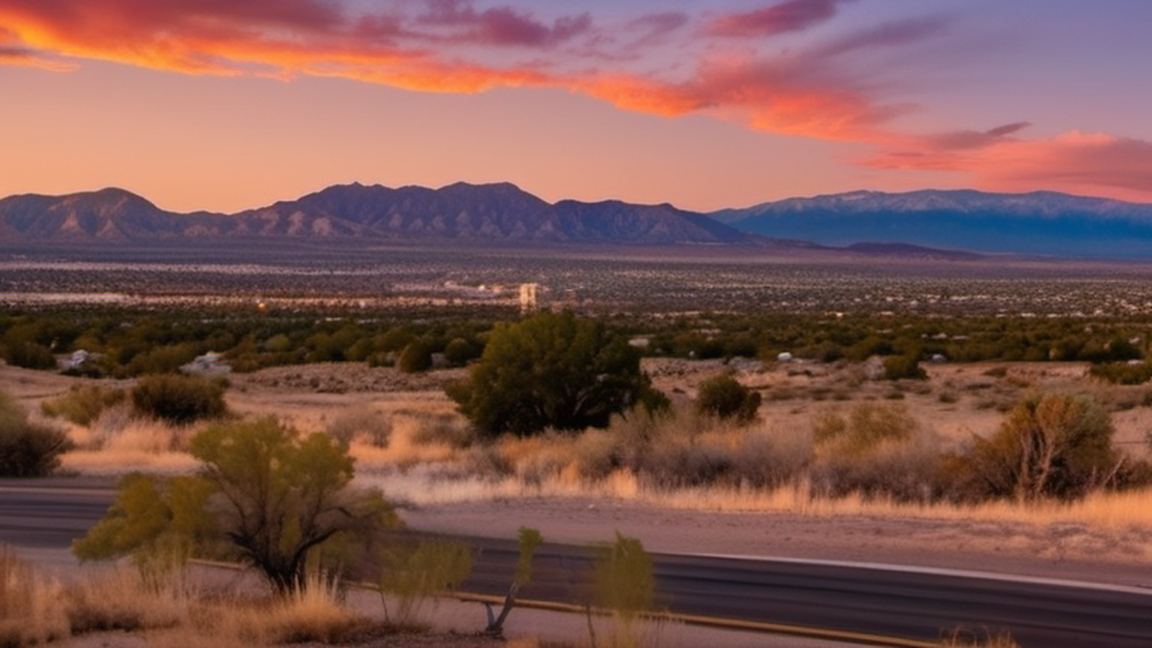
Banamichi is a Mexican town of 1,400 people (2020) in the center of the state of Sonora, close to the Sierra Madre Occidental area and the influx of the Sonora River through that region. The town was founded in 1639.
Beyond the sparse statistics, Banámichi’s streets reveal a cadence shaped by the rhythm of the Sonoran desert. Early mornings are marked by the hum of cattle drives heading to the nearby rangelands, while afternoons see locals gathering in shaded plazas for a brief respite and a shared bottle of agua fresca. The town’s modest market, held twice a week, is less about tourist trinkets and more a bartering hub where families exchange chiltepin peppers, dried beans, and hand‑woven textiles. Observing these routines offers insight into a community that balances self‑sufficiency with a quiet openness to passing travellers.
Approaching Banámichi by road demands preparation akin to a high‑desert trek. The main artery, Highway 15, can be stark; fuel stations are spaced widely, so topping up in Hermosillo is prudent. A reliable vehicle with spare tyre and extra coolant is advisable, as sudden temperature swings can stress engines. Carrying ample water, sun protection, and a basic first‑aid kit is essential, especially if you plan to venture onto the unpaved caminos that thread through cattle ranches. Mobile signal is intermittent, so downloading offline maps before departure ensures you stay oriented amid the open horizon.
Just beyond the town’s limits, a series of shallow canyons cut into the sandstone, offering modest yet rewarding hikes. Unlike the heavily promoted Sierra Madre trails, these formations are quiet, allowing walkers to study ancient petroglyphs etched by the Opata people. The paths are unmarked, so a local guide—often a ranch hand familiar with seasonal water holes—adds context and safety. The modest elevation gain provides panoramic views of the arid basin, and the occasional sight of a soaring golden eagle underscores the region’s understated biodiversity.
Bahia de Kino is on the Sea of Cortez about 100 km (62 mi) from Hermosillo in the state of Sonora, Mexico. The tourist economy booms during the summer when residents of Hermosillo flock to the beaches to escape the extr
For the town in Spain, see Alburquerque Albuquerque, also known as ABQ, is a vibrant, sprawling city near the center of New Mexico. Cradled in the Rio Grande Valley beneath the Sandia Mountains, it is by far the largest
Edgewood is a town in Central New Mexico, located east of Albuquerque on the other side of the Sandia Mountains.
This article needs additional citations for verification. Please help improve this article by adding citations to reliable sources. Unsourced material may be challenged and removed.Find sources: "Banámichi" – news · newspapers · books · scholar · JSTOR (July 2018) (Learn how and when to remove this message) Town in Sonora, MexicoBanámichi Bacoachi or vanamitziTownBanámichiShow map of SonoraBanámichiShow map of MexicoCoordinates: 30°00′34″N 110°12′48″W / 30.00944°N 110.21333°W / 30.00944; -110.21333Country MexicoStateSonoraMunicipalityBanámichiPopulation (2020) • Total1,417Time zoneUTC-7 (Zona Pacífico) Banámichi (Opata: Banamitzi) is a small town in north-central Sonora, Mexico. It serves as the seat for the surrounding municipality of the same name. Geographical coordinates are 30°01′N 110°13′W / 30.017°N 110.217°W / 30.017; -110.217.
[edit] The municipal area is 773.06 km² and the population was 1,417 in 2020, comprising 77% of the municipality's population. Two other smaller pueblos are part of the municipality: La Mora [es] and Las Delicias.) There were 1.96 inhabitants per square kilometer in the municipality, which has been losing population since the census of 1995. The lack of economic opportunity has caused many people to emigrate, especially to the United States. There is anecdotal evidence that this emigration was reversed with many former residents returning to the area due to the 2008 financial crisis.
[edit] Banámichi is approximately 135 miles (217 km) south of Bisbee, Arizona, U.S., by road. The town lies on the east side of the Sonora River which defines the region. Much of the land above the river is mountainous and soils are poor. Land along the river bottom is generally more productive, producing alfalfa, fruit trees and small cash crops. There are still pine and oak trees in higher elevations, and some logging is carried out. The area still has wildlife such as mule deer, big horn sheep, white tailed deer, bobcats, opossums, mourning dove, wild turkey, and quail. Mountain lion and Jaguar sightings have been reported in the higher elevations.
[edit] Banámichi has the only middle-level school in the region, serving an area from the localities of Mazocahui to Arizpe. There is no hospital and the population is served by a public health clinic.
[edit] A state highway (Son 089) links the municipality with the state capital, Hermosillo to the south and the cities of Arizpe and Cananea to the north. There is an undeveloped air strip for small planes. Telecommunication services available are Telmex voice services, high speed ADSL internet and Telcel cellular services.
[edit] The main economic activities are agriculture and cattle raising with limited tourist activity. More than half the population works in these areas. Subsistence farming is carried out to produce corn and beans while most of the farming is of grasses for cattle feed. The cattle herd had over 10,000 head in 2000. Industry is limited to a handful of micro industries and a modest plant assembling fish hooks for the North American market. The long abandoned Santa Elena gold and silver mine has been reopened, and employs upwards of 300 employees and contractors. A small cottage industry making furniture of mesquite wood has developed with two carpentry shops producing rustic chairs, tables, beds, and other pieces.
[edit] The recently rebuilt Plaza Hidalgo is very attractive with a gazebo/bandstand in the center. Facing the plaza is the main church, Iglesia de Nuestra Señora de Loreto, which was begun in the 17th century and retains its original structure with additions from the 1940s. The Palacio Municipal, or city hall, also faces the plaza. The city park on the main highway contains the Piedra Histórica, an ancient petroglyph, being held aloft by statues of four imposing Opata warriors. Scholars believe the petroglyph represents an irrigation map. Just south of the town is the Bacachi warm springs pools. The town has a baseball stadium where the home team, the Halcones, play in the municipal league and games are often televised. Quarter horse racing takes place at a track near the airport. La Posada del Río Sonora is an historic inn with a full restaurant, cafe, and cantina, located on Plaza Hidalgo. The main part of the hotel is remodeled from a 17th-century colonial adobe house. La Posada has a large rooftop terrace that is considered the best sunset view in town. Other hotels in Banámichi are Hotel Los Arcos de Sonora, opened in 2009, a combination of a hundred-year-old restored adobe and modern construction. Los Arcos features a restaurant and is unique in that it is the only hotel in the area with a swimming pool, Los Dos Potrillos, and two smaller guest houses, Guest House Guely and Casa Rural León. Also, several of the cattle ranches in the area also serve as hunting lodges for organized hunting trips, typically run by professional hunting outfitters.
[edit] The name is derived from the Opata word Banamitzi, which means, "Where the water turns" or "lowered by water". The region was once inhabited by the Opata people; in 1639 the Spanish missionary Bartolomé Castaños S.J. founded the settlement of Nuestra Señora de los Remedios de Banámichi. In 1930 it became part of the municipality of Arizpe and got its autonomy in 1931, with Banámichi as its municipal seat.